Sequoia: Breathtaking Nature!
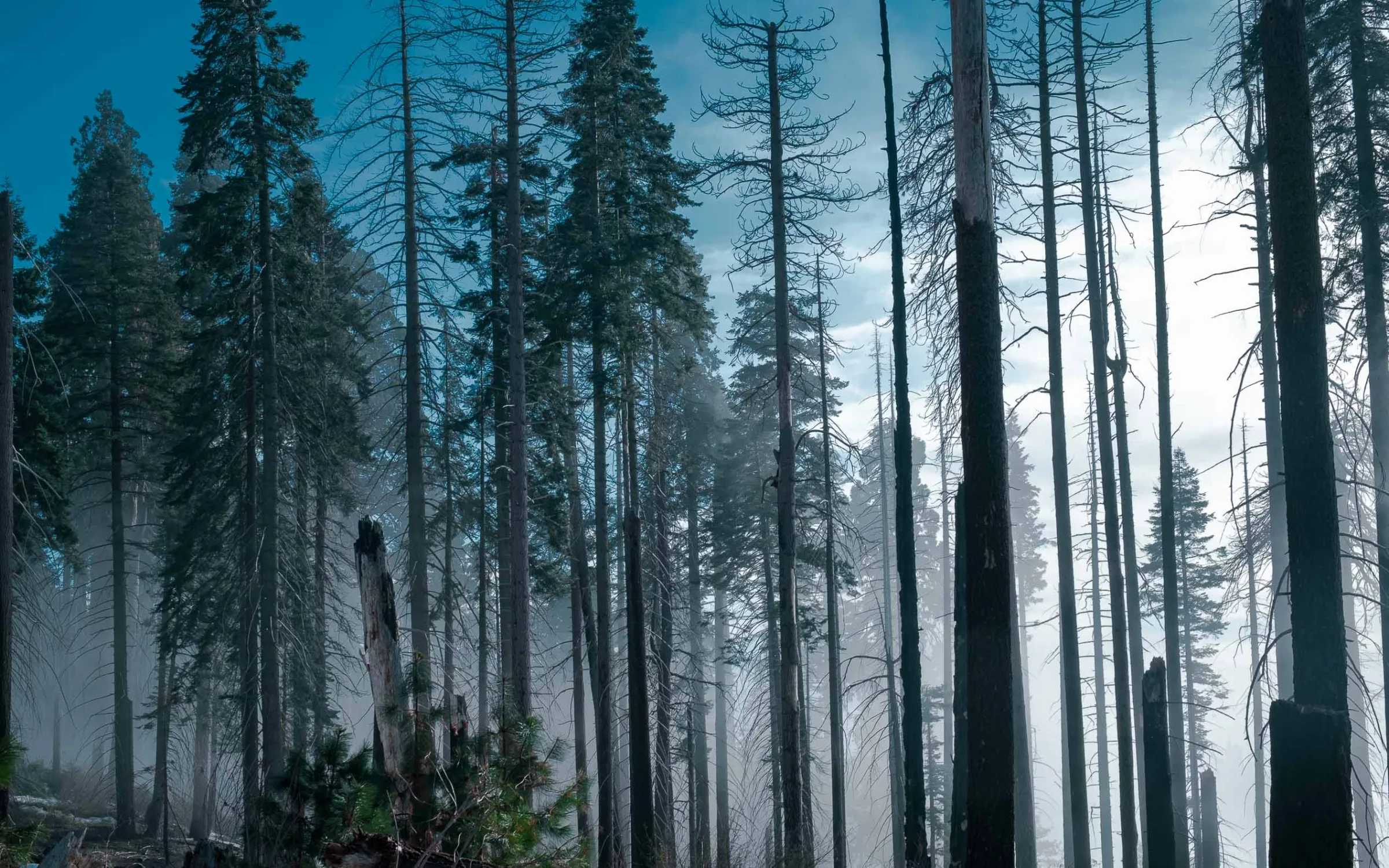
Here we are at the foot of Sequoia National Park for 2 days. Lush green forests, giant sequoias in shades of orange and a white blanket of snow gave us a unique landscape this January.
Staying in
Three Rivers
As the national park is high up, the towns are lower down, on the road leading to it. We had chosen a cheap hotel in Three Rivers, very close to the entrance, on Route 198 which climbs up to the park. You can’t get any closer! You’ll find more information on the map at the end of the article.
From Three Rivers, allow 30 minutes’ drive to reach the park’s first points of interest. You gain altitude quickly on winding roads. At the end of the day, you have to drive back down Route 198 to the hotel, the shops or the restaurants.
As for food, unfortunately you won’t be spoilt for choice: we found few good restaurants near our hotel. You generally have to go back down to Lake Kaweah to have a real choice of restaurants and shops.
Bring sandwiches for the day: there are no food shops in the park!
The park’s
hikes
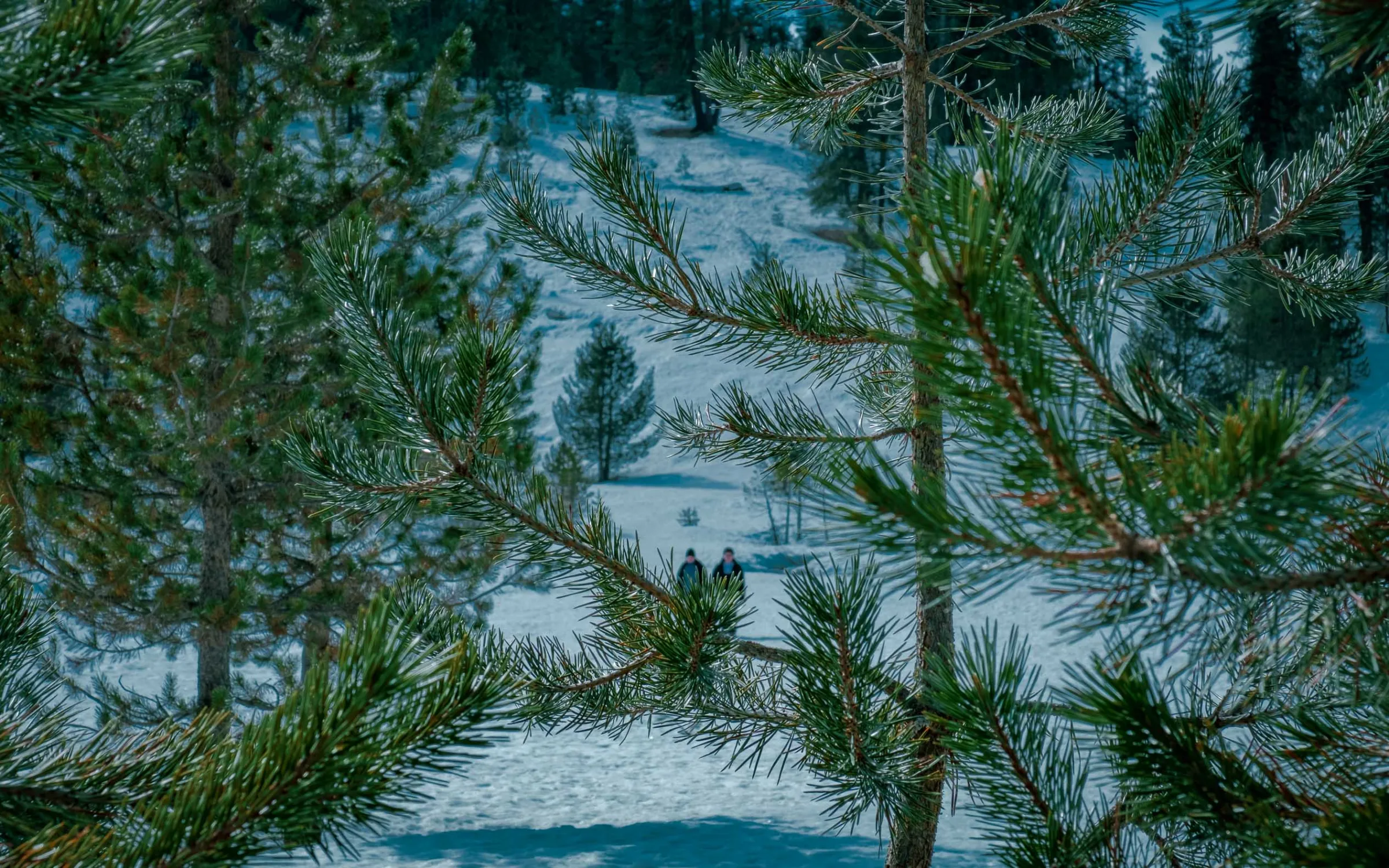
It’s a total change of scenery! After climbing more than 2,000 m by car, the greenery fades to make way for an ever snowier landscape. The weather was on our side for those two days: warm and sunny almost all the time, which let us hike in a light jumper, between sunshine and snow.
The great thing about the park is its continuous road: you stop along the way to enjoy magnificent viewpoints up high or to start different hikes.
Big Trees
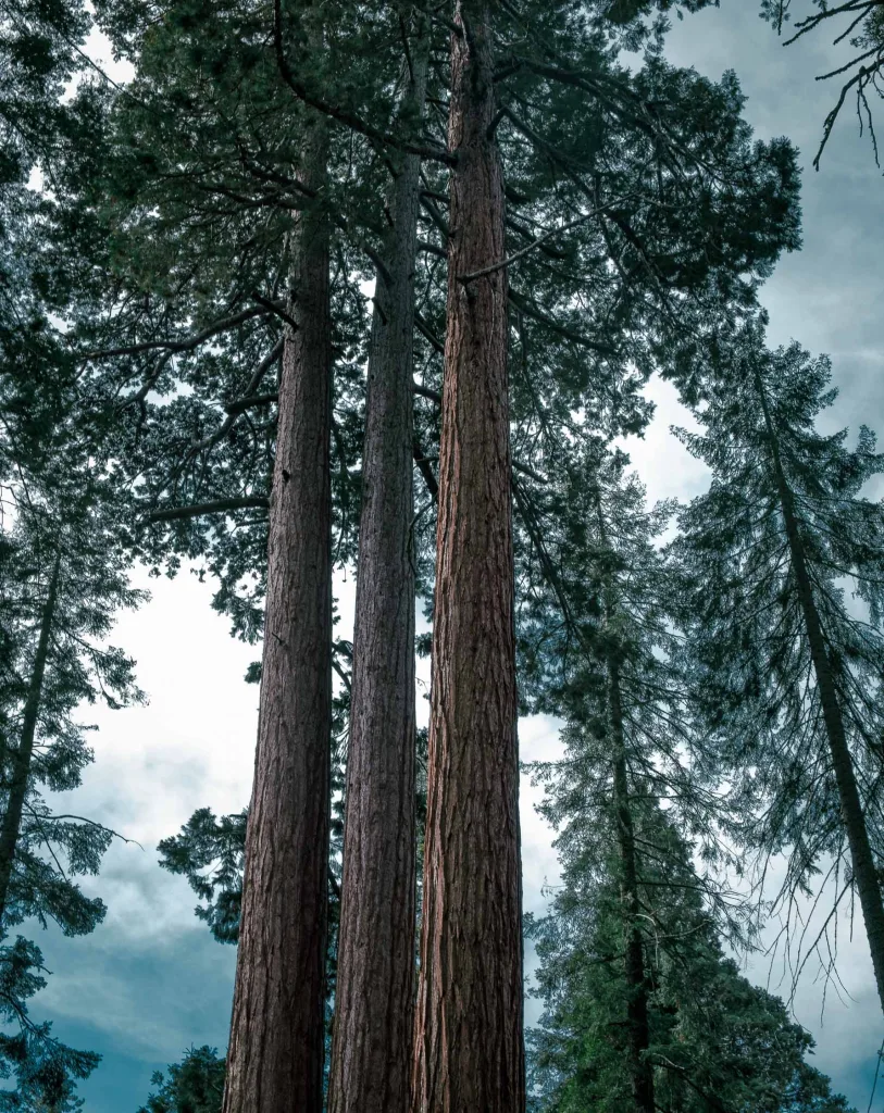
A pleasant, fairly flat little hike that forms a loop. It takes less than an hour, and along the way you come across the famous giant sequoias. Several signs tell the story of the park and the different trees. A good taste of what awaits you in Sequoia.

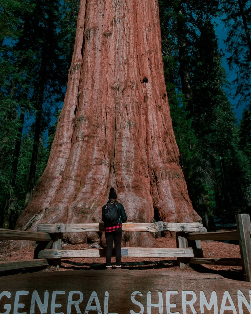
General
Sherman Tree
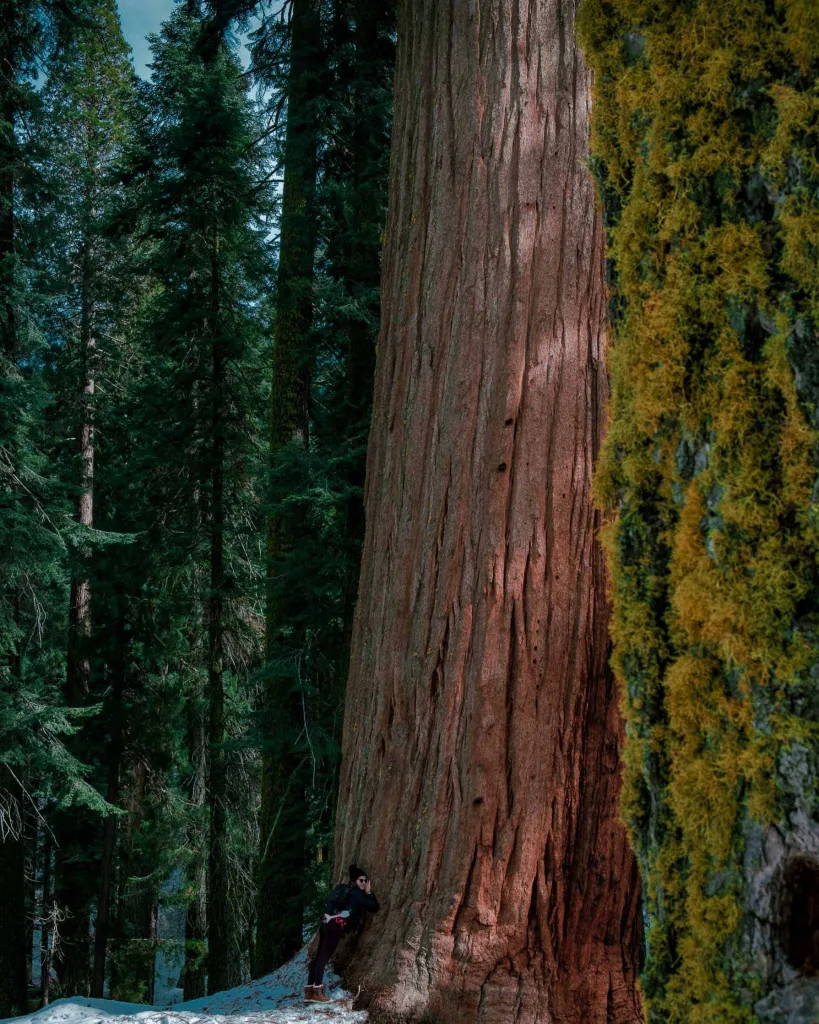
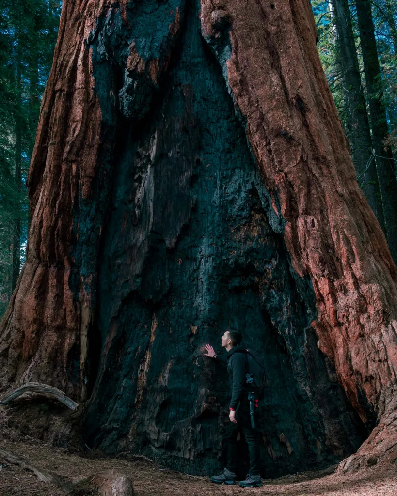
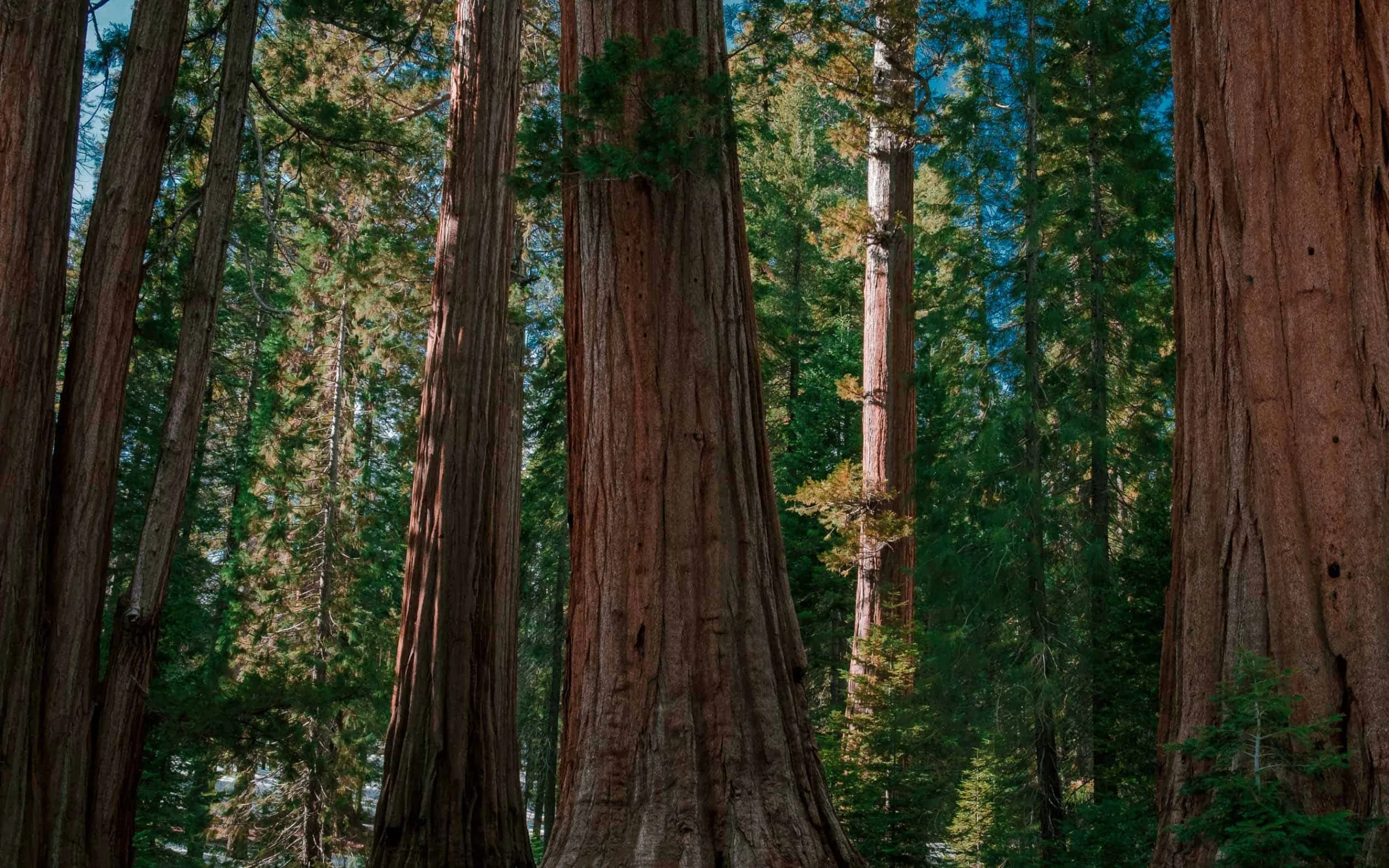
The park’s unmissable hike. It’s more of a trail that takes you through part of the giant sequoia forest and above all lets you admire the largest sequoia in the world, no less! As on the Big Trees hike, signs explain the nature of the sequoias and of this forest. On the menu: short passages inside the trees, and even a view from inside the trunk of a giant sequoia.
Moro
Rock
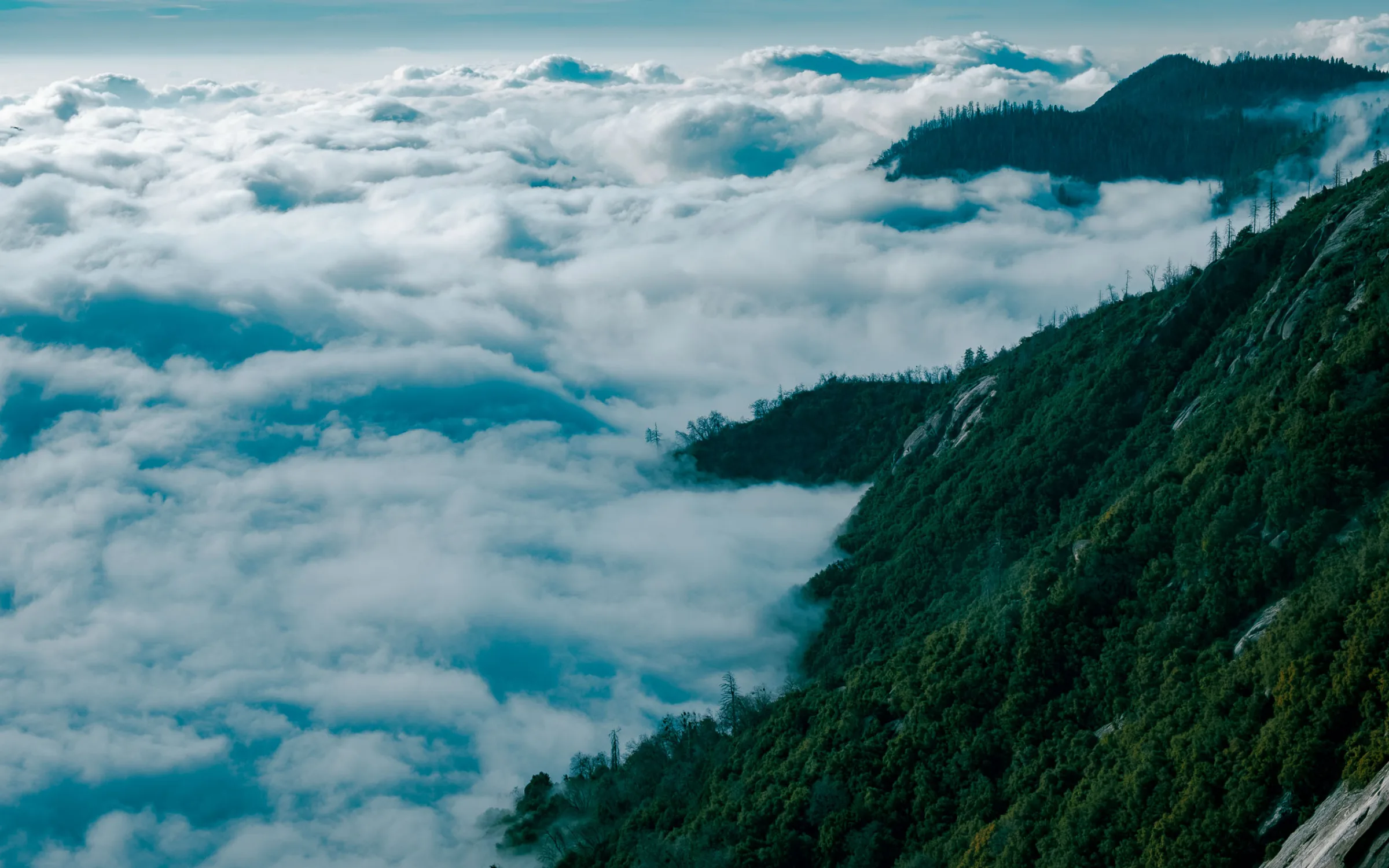
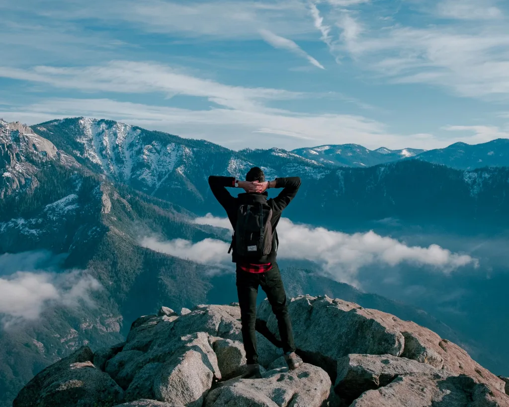
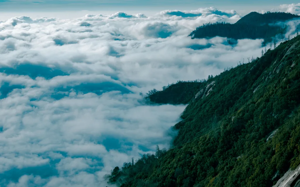
The crazy hike of our time in Sequoia. The highest point, Moro Rock, takes us more than 2,500 m above sea level, above the clouds.
The landscape at the top of Moro Rock is simply sublime.
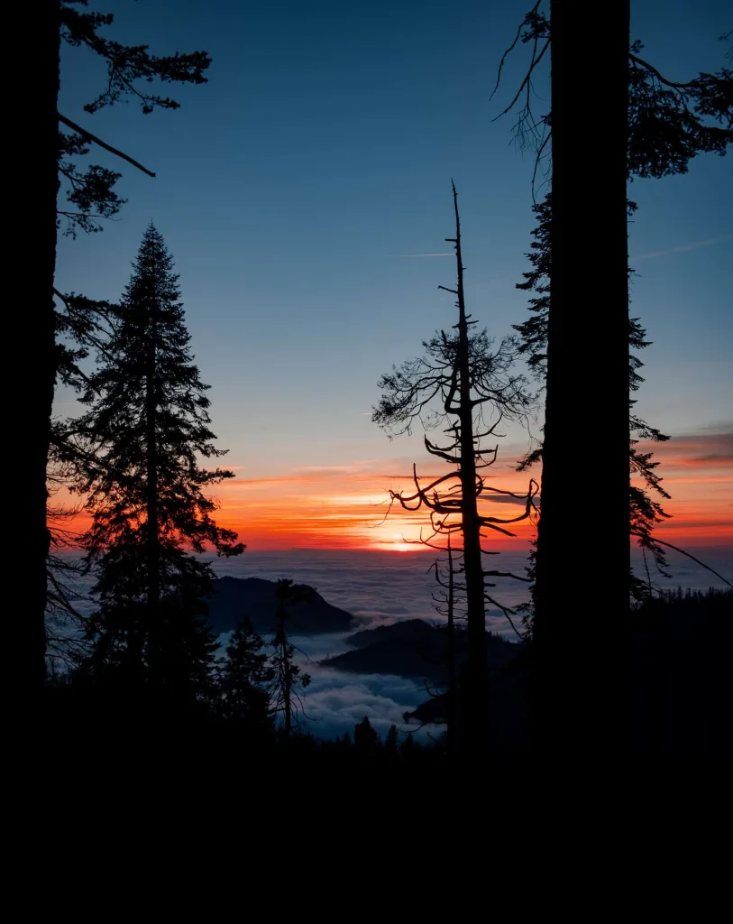
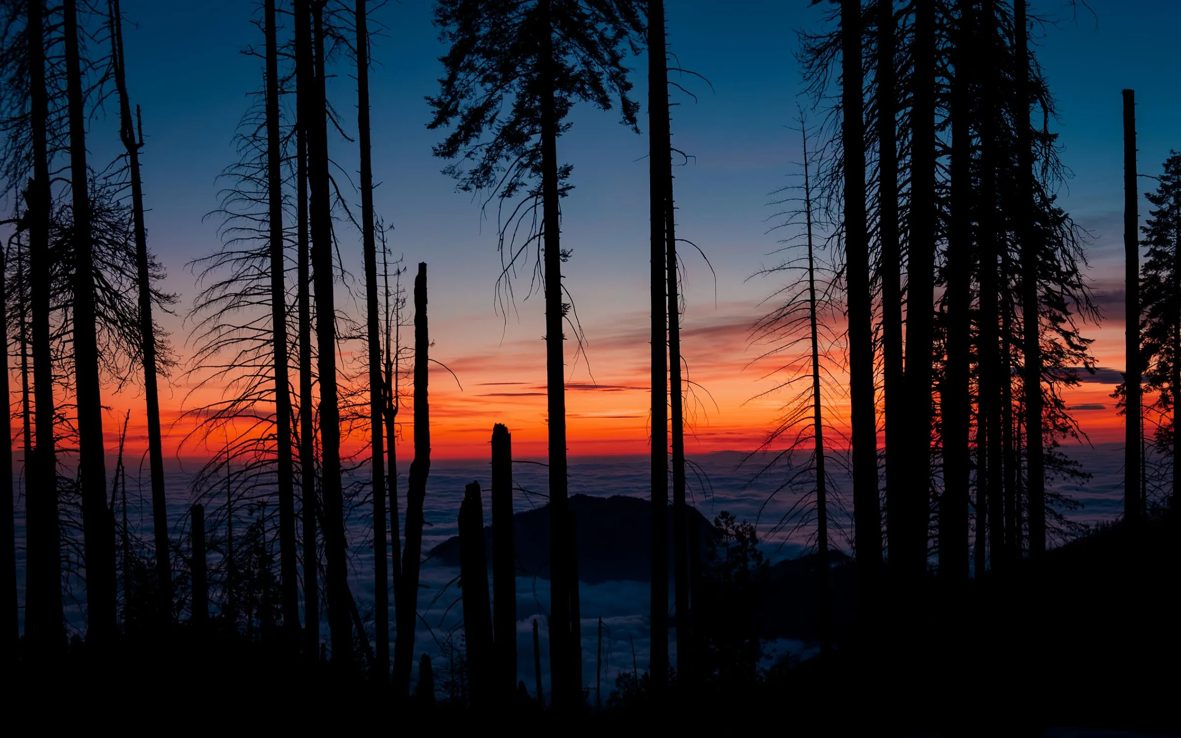
If you ever get the chance to do this hike, choose a fairly cloudy day to enjoy this unique view over the sea of clouds covering the forest. The climb isn’t very difficult for an impressive 180° view: allow 45 minutes there and back without stopping, and expect to climb the 400 steps of Moro Rock.

At the top
Swipe →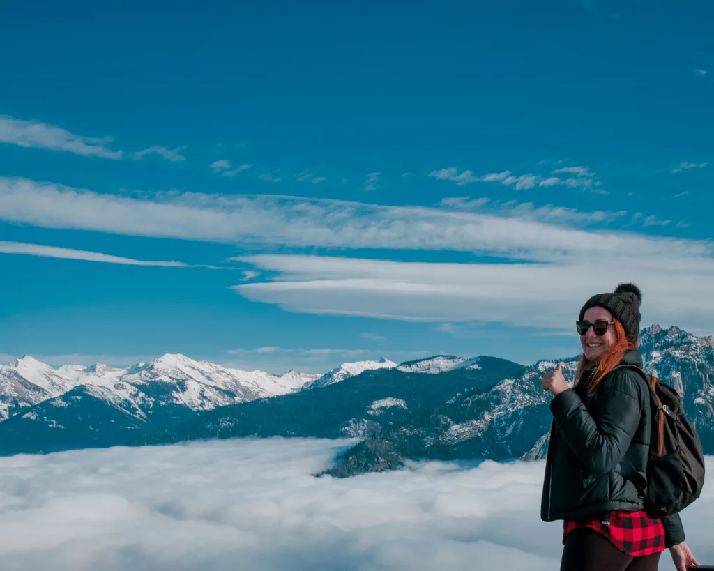
Towards
Pear Lake
We did lots of short hikes during these 2 days, but you’ll find much longer hikes and camping areas for those who want them.
On the last day, we tried to reach Pear Lake. Exhausted by the never-ending climbs in the snow, we unfortunately gave up halfway. Better-equipped hikers had left their cross-country ski or snowshoe tracks: another way to approach these hikes in January.
We can’t wait to go back and reach the park’s sublime lakes.
Our Sequoia spots
The hotel in Three Rivers, the trailheads and the viewpoints: everything is pinned on a Google map.
Open the map

0 comments
A question about the place, the route or the budget? Ask it here, I reply to every message.